Summit County Topographic Map
43″ x 48″ shaded relief topo map based on the 7.5 minute USGS series
The areas outside the perimeter of the county have been dimmed slightly.
Summit County Map
These county maps can be printed as rectangular or can be cut to the shape of the perimeter.
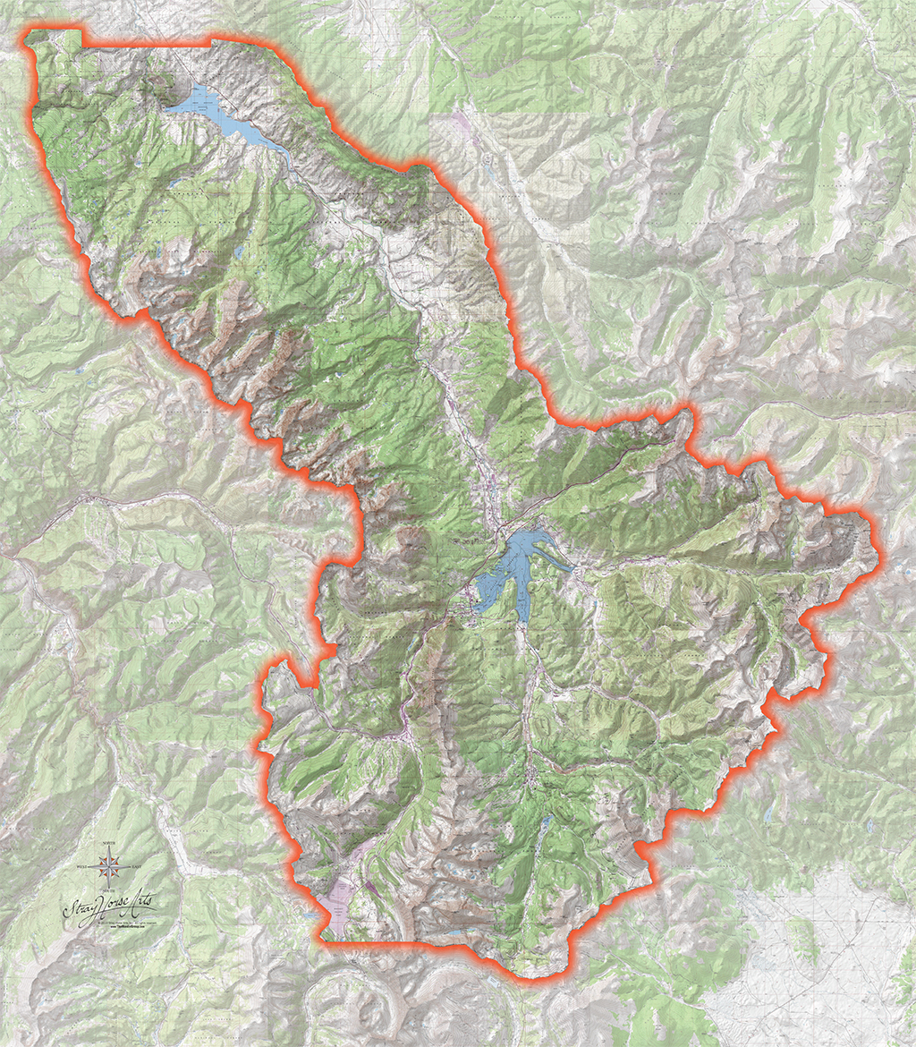
Click to enlarge for detail.
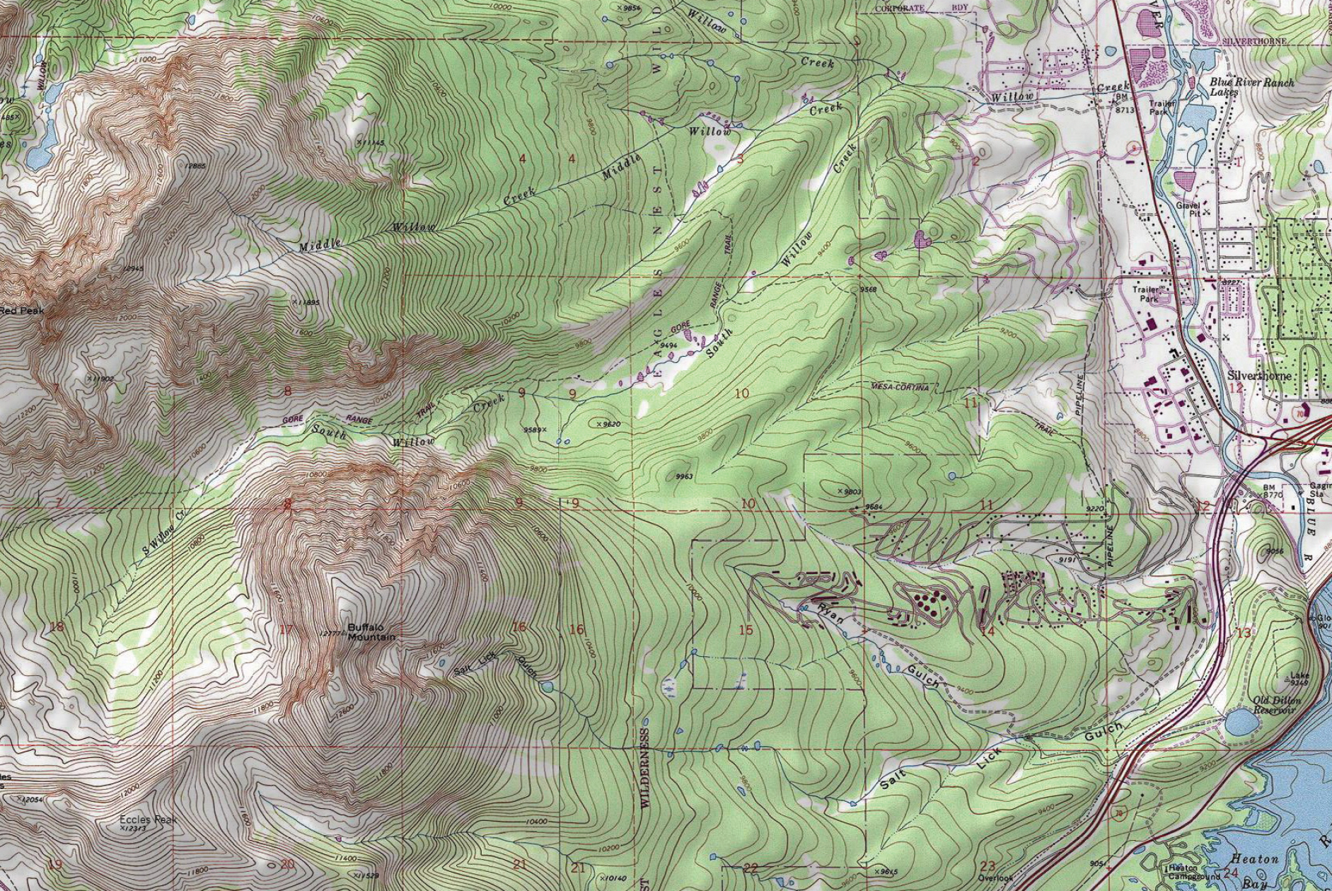
Buffalo Mountain Topo Map Swatch