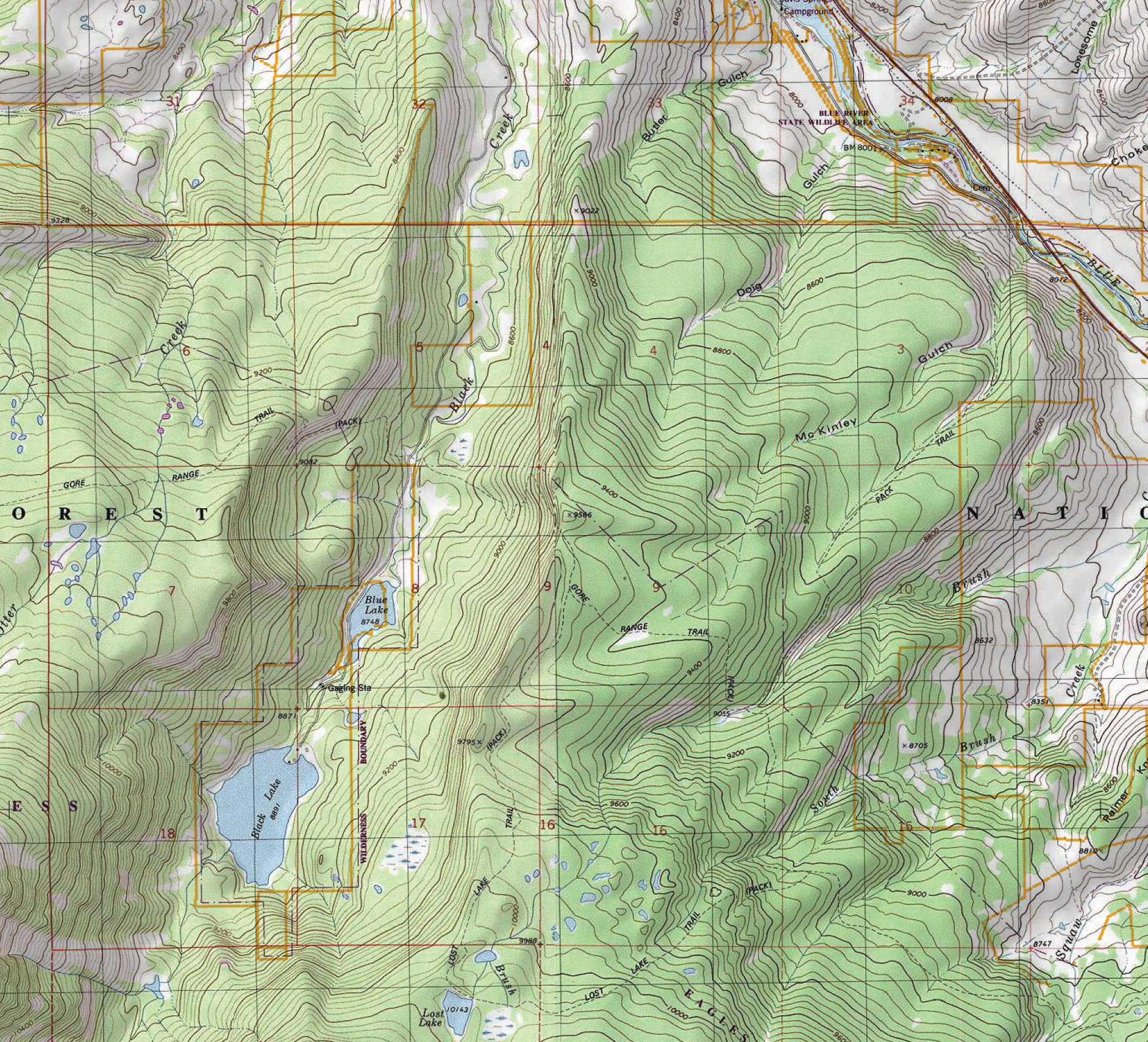
Lower Blue River Valley Topographic Map
36″ x 48″ shaded relief topo map based on the 7.5 minute USGS series
The cartography and initial printing of this map was donated to the the Friends of the Lower Blue organization by Kevin & Amy Mastin, former Lower Blue residents. A donation from each sale of this print will be made back the FOLBR. Larger and custom sizes are available, please contact me via e-mail to request a quote info@kevinmastin.com
Ranches & Properties
This map includes most ranch & private property lines.
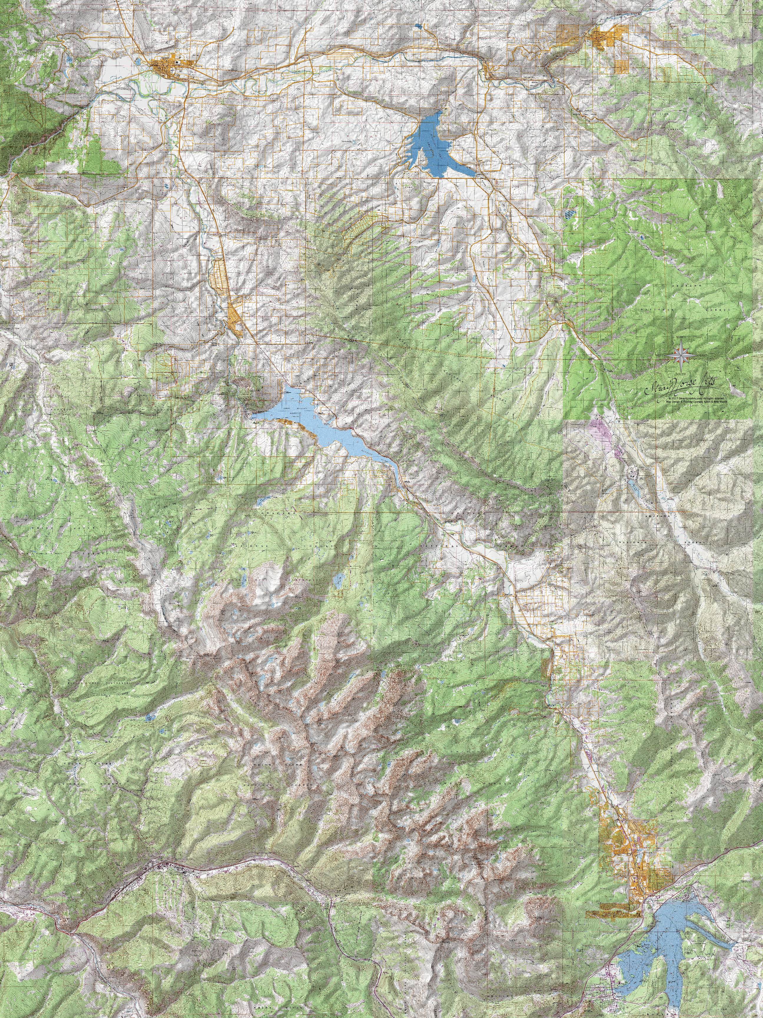
Lower Blue River Valley Map
Click to enlarge for detail.