info@kevinmastin.com
Illustrative Ski Trail Maps
I perform the reference photography, sketch layouts, and original paintings to give our customers an accurate and understandable bird’s eye view. Then, I marry the traditional skills of painting on canvas, with high-resolution scanning, and adding digital overlays to create truly hand-crafted maps.
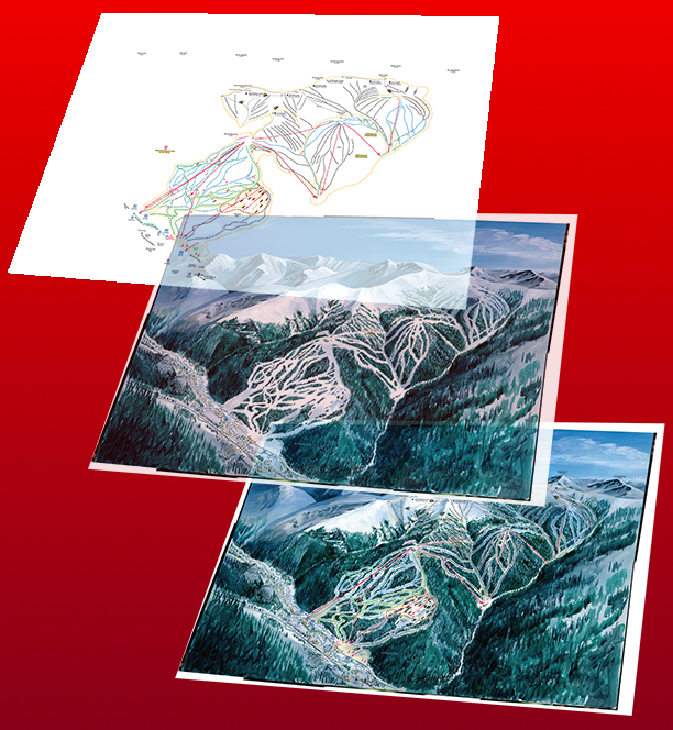
Digital layers on a painted canvas
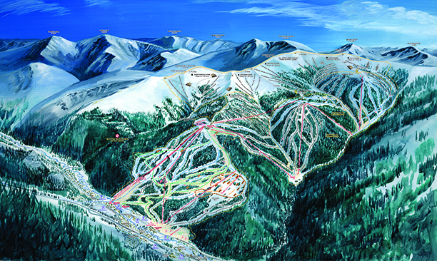
Keystone Ski Trail Map
Shaded-relief Maps
Shaded-relief maps offer an accurate, but easy-to-understand image for the average user.
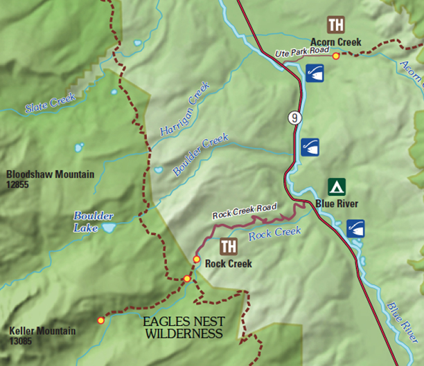
Shaded Relief Data showing Trailheads and fishing access
Topographic Maps
To the backcountry traveler the topographic map is still the preferred tool. GPS devices are great, but cold weather is hard on batteries and they often fail; further, cell phone reception is very unreliable (or completely unavailable) in many of these remote areas.
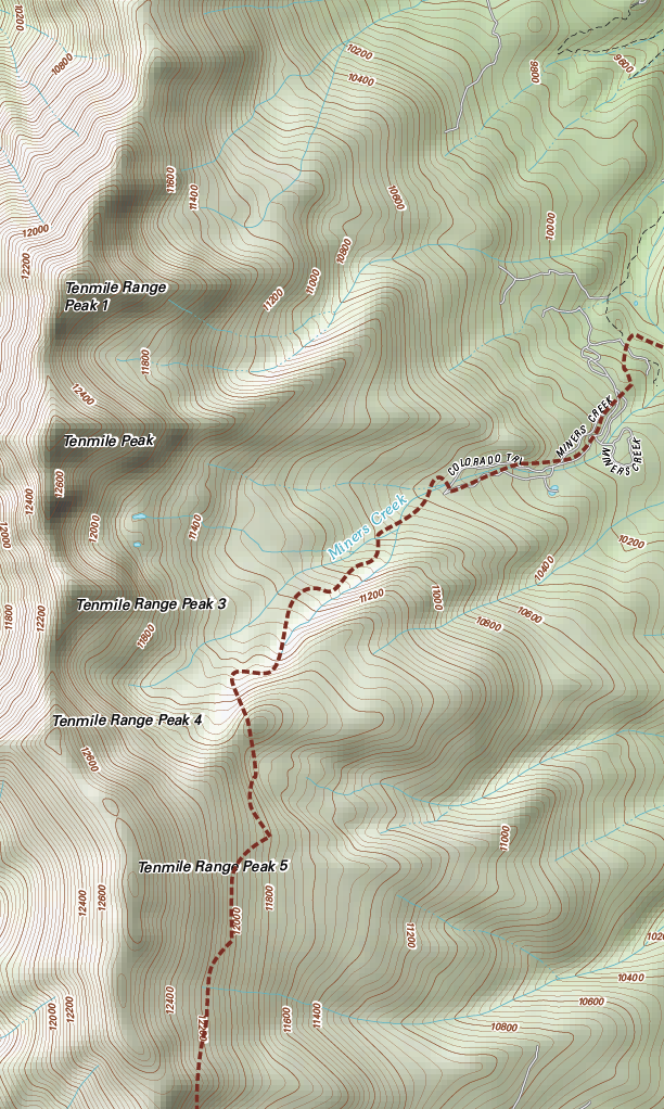
Topographic with shaded-relief Tenmile Range
Street Maps
We also create detailed street maps indicating private and public lands, businesses and trails, for a variety of specialized uses.
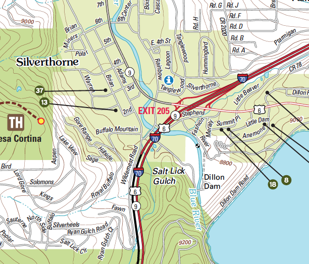
Street map of Silverthorne Colorado with Topographic underlays
Cartoon Maps
And sometimes a simple, hand-drawn cartoon map is just the right ticket!
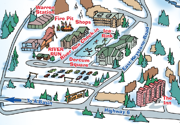
Keystone Kids’ Cartoon Maps Swatch
Experience the Summit Poster
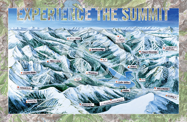
Experience the Summit Poster 36″ x 24″
Over the past 30 years, I’ve drawn hundreds of maps for clients such as: The United States Forest Service, Keystone Ski Resort, Summit County Chamber of Commerce, Arapahoe Basin, Breckenridge, Vail, Beaver Creek, Wisp, Bear Valley, California, Anne Springs Close Greenway and Springmaid Beach Resort and many, many more. Let me what you need and I’m sure I’ll have the right solution for your use and your budget.
Hand-drawn Resort Maps
Here are some other samples of Resort and check-in Maps.
©2016 Stray Horse Arts, Inc. Leadville, Colorado.
dba The Mastin Group and dba Stray Horse, Lake County, Colorado.
30 years’ experience of Graphic Design in Summit and Lake County, Colorado. Printing, Ski Trail Map Design,
Custom Maps, Logo Design, Commercial Art, Painting, lllustration, Western Art and Fine Art.
Kevin M. Mastin, Ski Trail Map Artist, Illustrator and Graphic Designer.